|
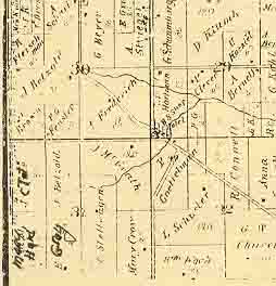
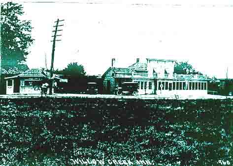
The community of Willow Creek was located in the southwest corner of Section 29. The land patentee was Joshua Gifford who at the time purchased 40 acres. This area was located contiguous to and north of Appleton Trail and southeast of the now Goldendale Road junction. By 1859, per the plat map of the area, Mr. Gifford increased his holding by an additional 99 acres directly south so he now owned the land in this area on both sides of the trail. One can surmise that the name of the area came from majestic willow trees which lined the creek just to the south. By 1873, per the plat map, Mr Gifford had sold his 99 acres to P. Goettelman and most of his original 40 acres to Mr. Hartman. At this time the land along the trail from the creek on the south to the Goldendale junction on the north side contained a blacksmith shop, a hotel, and other buildings totalling five and situated on both sides of the road; four on the north side and one on the south. There was also one building on the north side of the trail just south of the creek.
|

