|
See Gallery 3 of 6 to see additional galleries or Gallery 1 of 6 to go back one gallery.
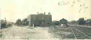
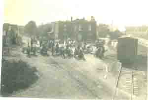
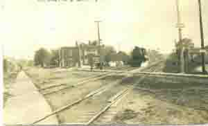
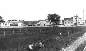
There are two versions as to where the camera person stood when taking this picture. One is from Firemans Park looking south. The second, and the likely correct one, is from the hill by the west quarry. Picture taken from the hill about where the boy scout cabin had been, view looking south. For those who do not know where the cabin was, it was located in Firemans Park about 150 feet north-northeast of the swing area. If you walk there you will see an unusual flat area. This is where the cabin was located. Today if you were standing on this ground, after cutting down those trees planted in the late 1940s, you would be looking pretty much as the photographer did, maybe a bit west further south. The tree area on the right may have been east of the firehouse and just south of the swings. When the park was first started, this tree area is where the sand box was located. The tall building center front looks to be an ice house, that is, a building used to store ice harvested in the winter months and used in the summer months. Ice could have been harvested from the two limestone quarries. Joseph Siegl in his 95th years in 2003 recalled that they made ice north of Gehl's dairy. Gilbert Arnold remembers an ice house and that they harvested ice from Walterlin's quarry. Picture taken from the hill by the west quarry. View is looking east. The road running in front would be Broadway. From a picture on the Germantown Historical Society's photo gallery, there is a similar picture but taken from on top the hill which exposes more buildings to the right. On the far right, on the west side of this road would be the pickle factory. The key to this scenario is the Germantown Insurance Company building which is located to the left, that is, east of the pickle factory. The large residence house about half way to the dairy would be the Schwalbach house. Running in front of the Insurance Company building, the Schwalbach house, and past the dairy would be Main Street. It would seem Church Street did not yet exist. The street running on the side of the dairy would be North Street.
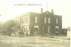
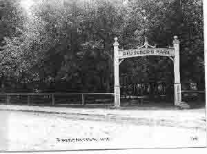
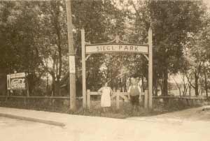
View from Main Street looking southeast. Beuscher Park on left later known as the Seigl Park. Today it is called Jerry's Old Town Inn. Left picture, photographer Jos. F. Seidl, Hartford.
See Gallery 3 of 6 to see additional galleries or Gallery 1 of 6 to go back one gallery. |

